-
Nokomis Trail
August 17, 2025 August 17, 2025 47 degree low; high 66 I went outside at 4am to see the stars and took 4 iPhone pictures while lying on the picnic table. I have no idea what this is. We were sore and tired from hiking, but it was going to be a sunny day in…
-
South Old Woman River Trail
August 16, 2025 at 4:47 PM Opting for an easy hike this morning, we chose the South Old Woman River Trail, rated 4.4 and easy. My hip was sore from the last few days hiking, so easy for an hour and a half sounded good. The hike starts across 17 from the campground, so we walked…
-
Lake Superior Provincial Park
Checkout wasn’t until 2:00, so we took an “easy” hike from the campground through a forest, then across a fen. Martha explained to me the difference between a bog and a fen. Water doesn’t move in a bog, but does in a fen. I wore my bug shirt this time, and the mosquitoes were sure…
-
Edmund Fitzgerald Lookout Trail
At 8:30 we set out to hike to the Edmund Fitzgerald Lookout. The ship Edmund Fitzgerald sank in a terrible storm in 1975. The storm was so fierce the ship broke in half! Looking at Pancake Bay, it is hard to imagine. Canadian singer, Gordon Lightfoot, wrote a great song about the incident. The hike…
-
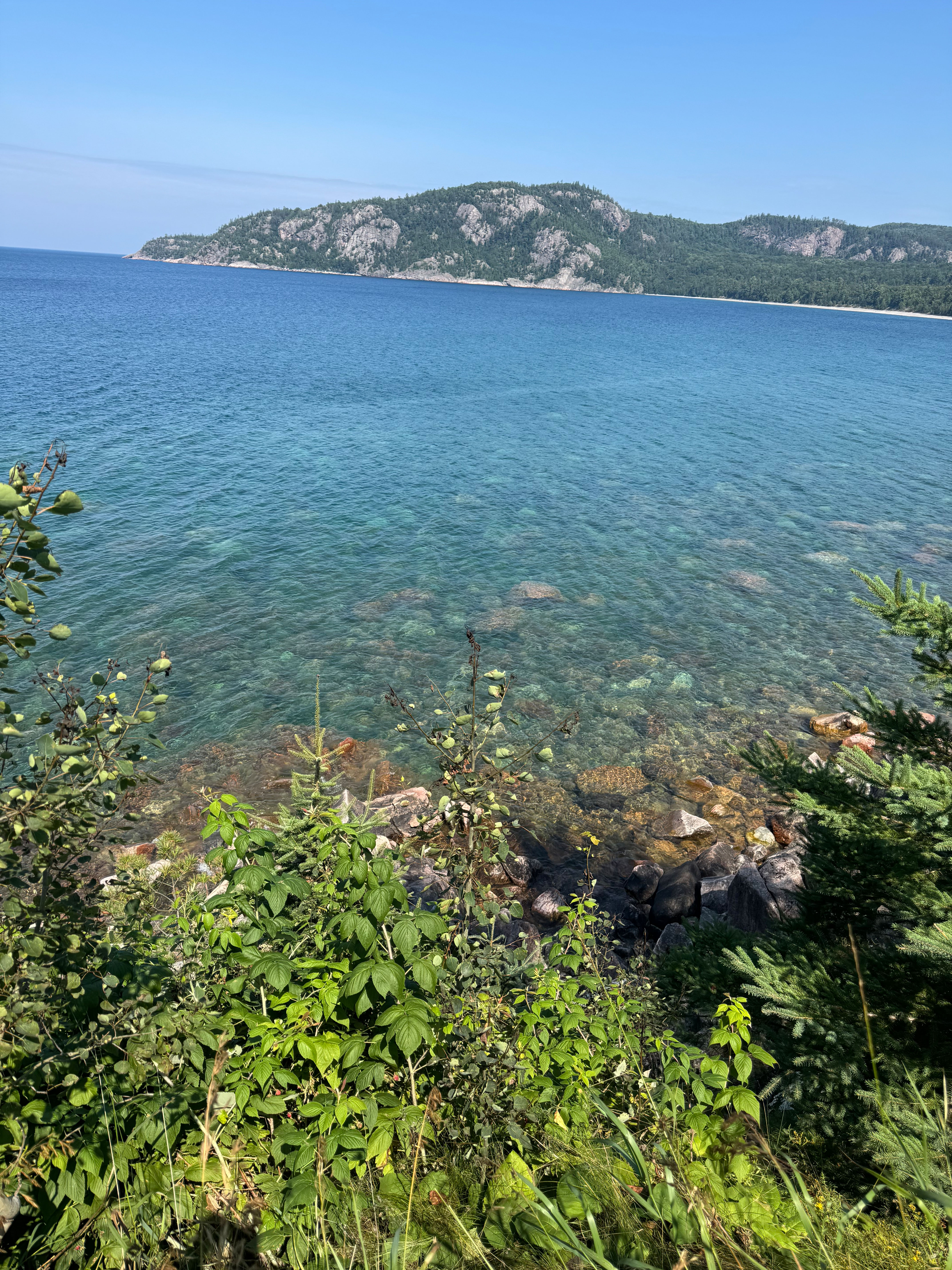
Pancake Bay Provincial Park
We did two loads of laundry at the Sault Ste. Marie KOA before hooking up. Bill and Joan have everything you could ever need at this campground, including a trailer wash, and it’s all in top shape. We did our grocery shopping yesterday, and filled up with gas. It’s not like we are going into…
-
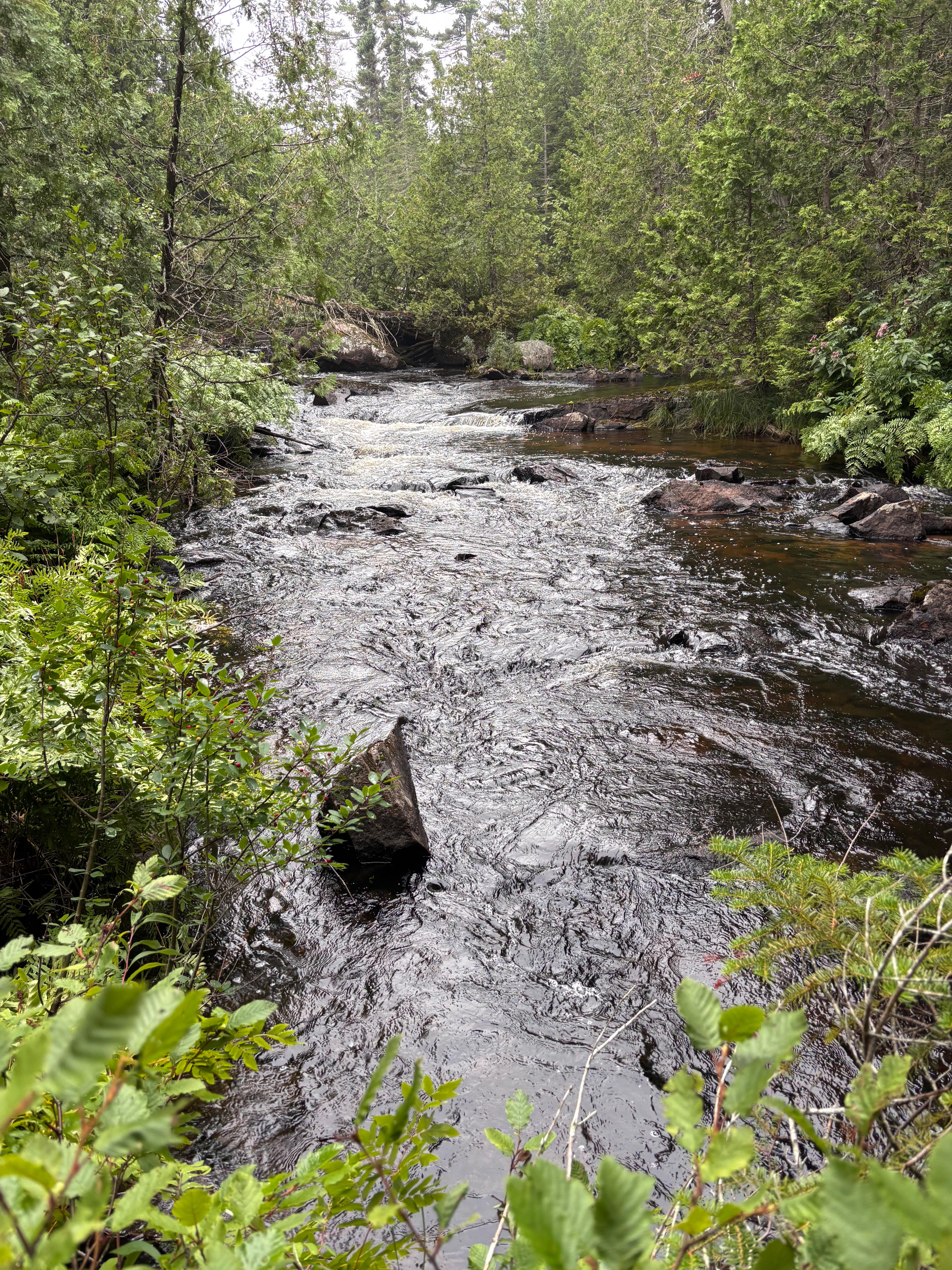
The Goulais River

The Trans-Canada Highway (Rt. 17) crosses the Goulais River northwest of Sault Ste. Marie. The river is surrounded by The Goulais River Provincial Park, which has no facilities. Reports are that the river supports a sjstainable Brook Trout population and it is wadable. First step was to get a non-resident fishing license. Those of you…
-
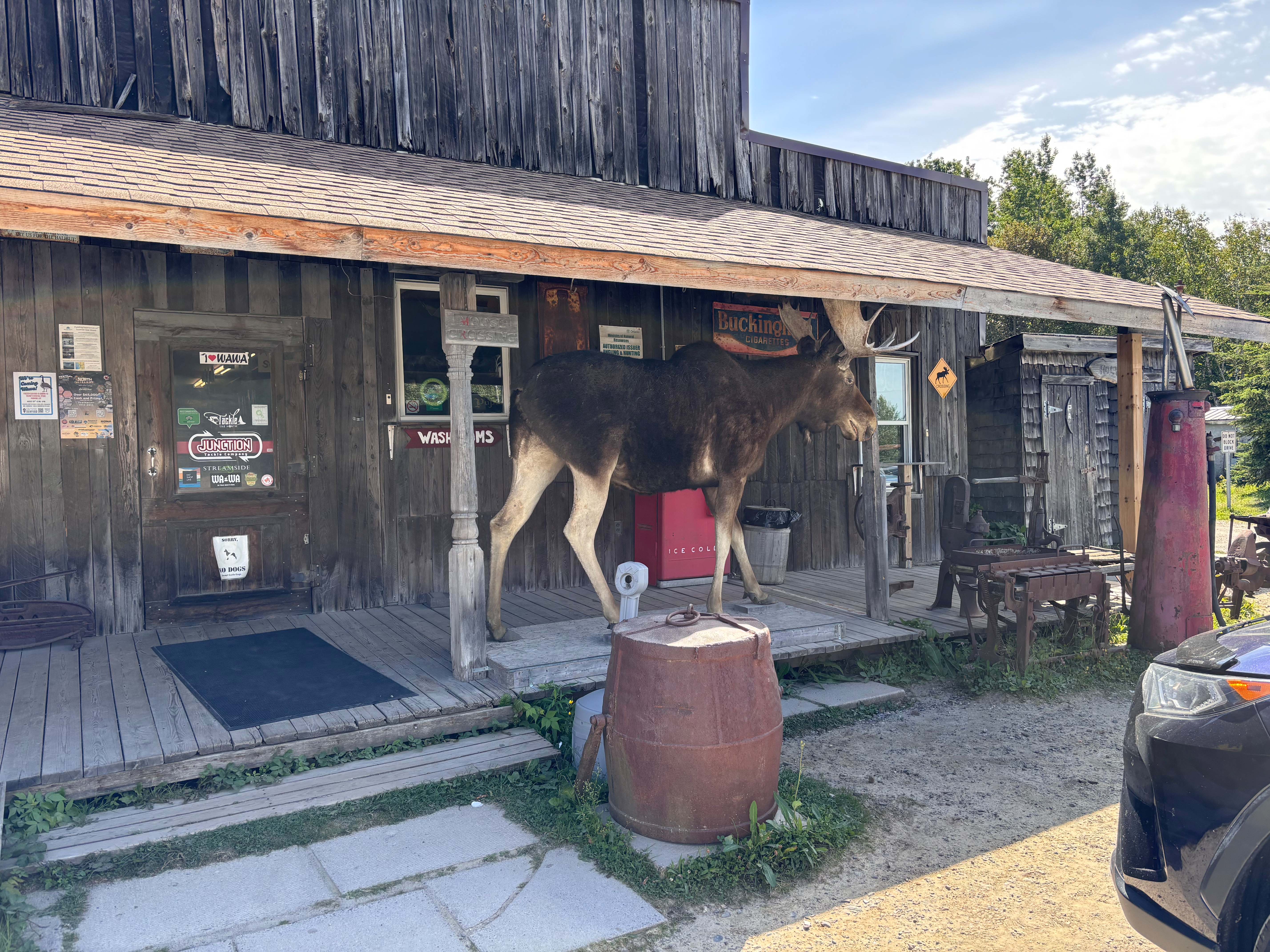
The Bushpilot Museum

The #1 TripAdvisor recommendation of things to do in Sault Ste. Marie is the Bushpilot Museum. I love this place, although it has changed with more emphasis on fighting fires, which is no doubt a huge issue today. The museum as we saw it 12 years ago, focused on individuals exploring Canada after the invention…
-
The Boardwalk, Sault Ste. Marie, Ontario
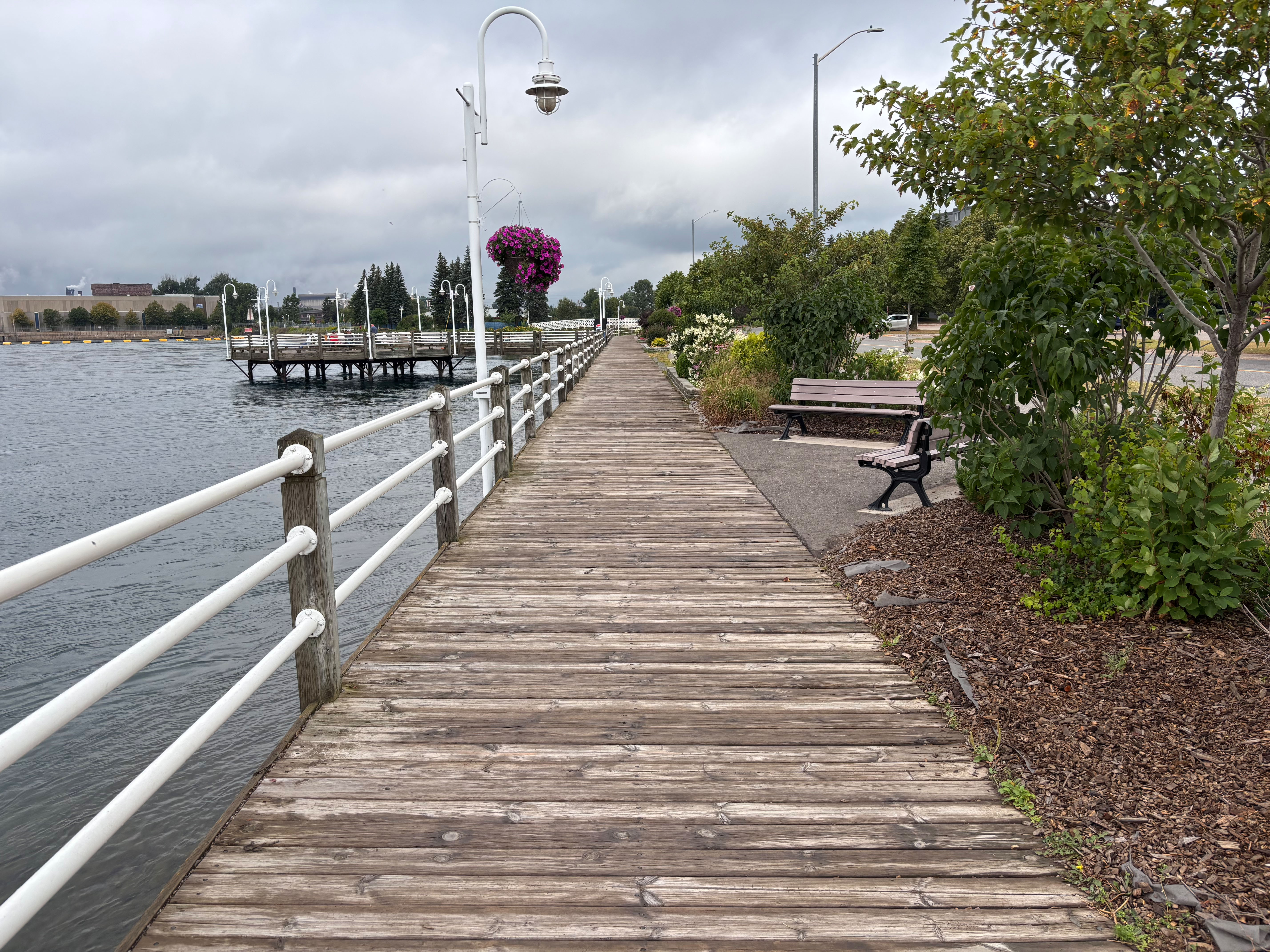
Sunday, August 10, 2025 After four days of driving, we wanted to get out and walk. #2 on the things to do in Sault Ste Marie is the Boardwalk along St. Mary’s River that connects Lake Superior to Lake Huron. It is a busy area for Great Lakes shipping both with loading and unloading as…
-
Crossing The Border
Having a little history, I don’t like border crossings. With another day of travel, we drove through Traverse City, recalling our previous visits to this city. It was a 4-hour drive pulling the Airstream, and not a bad one. There was very little traffic along I75 to the Mackinaw bridge across the Upper Peninsula of…