Category: National Forests
-
Hidden Valley Recreation Area

Encompassing 180 acres in the George Washington National Forest in Bath County, the Hidden Valley Recreation Area is one of our favorite places. It has a great, little campground that is managed by the best hosts, Toni and Judy, who work very hard to keep it clean and neat. The beautiful Jackson River runs through…
-
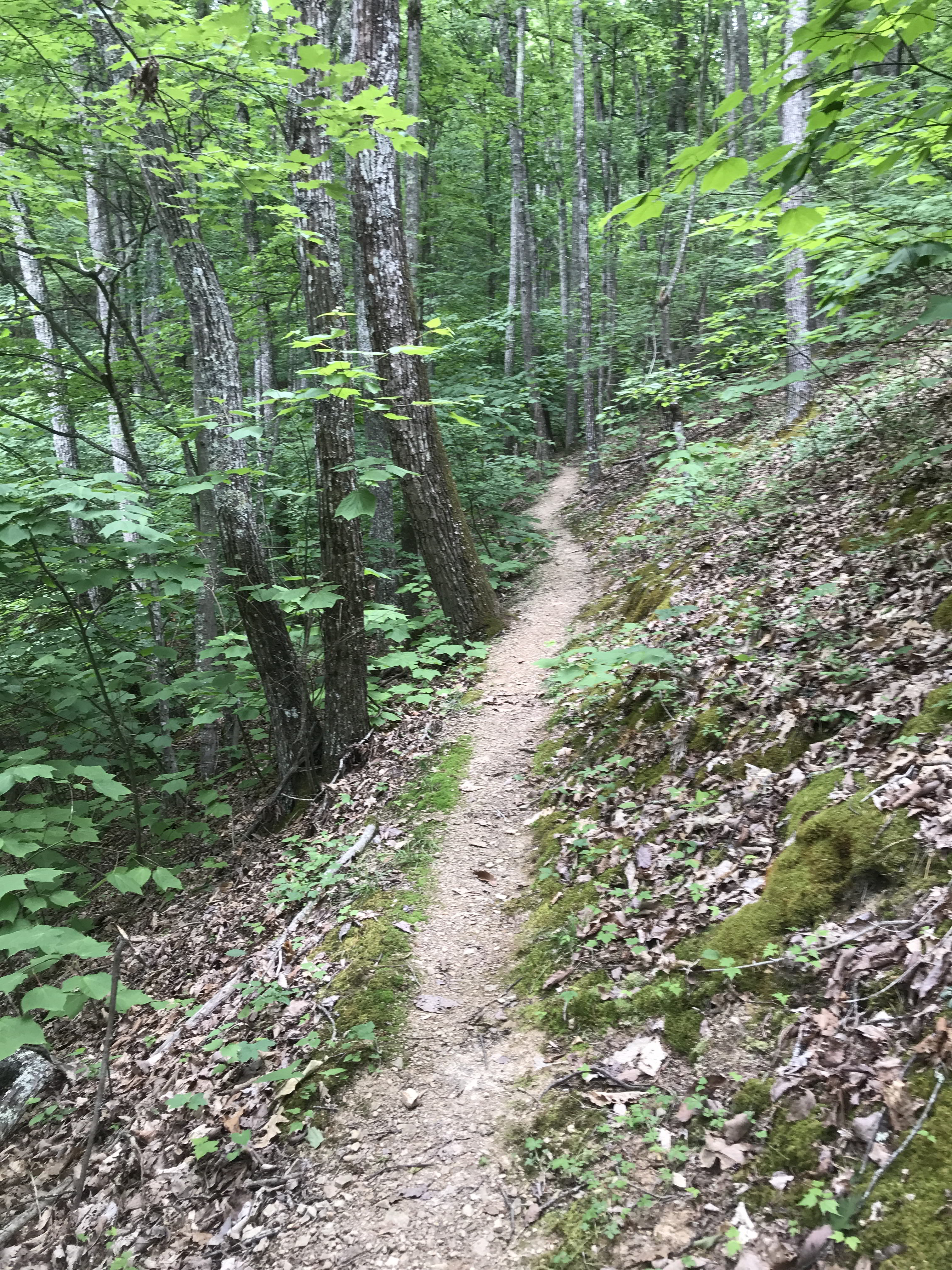
Hidden Valley
If I could catch as many fish as I took flower pictures, I would be in paradise. Similar to Big Meadows in Shenandoah National Park, you could take pictures in all seasons and they would be different. We didn’t see any bears or signs of bears, but surely they are here. There are lots of…
-
Jackson River Scenic Trail
The Jackson River Trail is approximately 16 miles long following the Jackson River flowing south from Cedar Creek To downtown Covington, Virginia. We wanted to ride from Cedar Creek down, but that section isn’t finished yet, so we went down to Natural Well, first riding north as far as we could, then riding south for…
-
Hidden Valley Recreation Area, Bath County, Virginia
Monday/Tuesday, July 8, 2024 I have been to Hidden Valley several times to fish the Jackson River, but I wanted to return to explore more of the area. A beautiful B&B, Warwickton built in 1848, sits in the heart of the property, but I love staying in the campground with our Airstream. The campsite fee…
-
Silver in The Streets, Friday
Friday, May 17, 2024 The weather forecast for our stay in Abingdon wasn’t good, but it kept changing. It’s a tradition to gather around the coffee pot and sweet rolls in the morning. I asked Jeff about the hike to “The Devil’s Bathtub”. He said it was an hour drive, a two-mile hike out and…
-
Garden of The Gods & Pike’s Peak
Tuesday, September 6, 2022 It is about a 5.5 hour drive from Durango to Colorado Springs, which is northeast of Durango. It takes us about an hour or so longer by the time we stop for lunch, gas and whatever else happens. Pulling the Airstream makes us a little slower, but not that much. We…
-
Elakala Falls in Blackwater Falls State Park

Wednesday, October 6, 2021 Someone told us to go to Elakala Falls, so we did. It’s a short, but treacherous, slippery walk down to the pretty falls. Another photography workshop was scattered all over the rocks, their mentor moving around to help each. The Elakala Falls are a series of four waterfalls of Shays Run[2] as it descends into the Blackwater…
-
Bear Rocks Preserve in The Dolly Sods Wilderness

Wednesday, October 6, 2021 45 minutes from Blackwater Falls State Park, driving through Canaan Valley, is the Dolly Sods Wilderness Area. I am on a photography workshop with Mark Zablotsky (https://www.markzphotoworkshops.com) exploring West Virginia. The weather has been for rain the entire week, so I guess we were lucky to be confronted by heavy fog.…
-
The Seven Sisters Trail
OK, I didn’t look hard enough at the hike descriptions, but I had been driving all morning through beautiful Thompson Valley and I needed to stretch my legs. Starting in the campground, the sign said it was a 5-mile hike, which I thought was perfect, but that doesn’t include walking another 2.7 miles on the…
-
Move From Twin Falls to Stanley, Idaho

Tuesday, July 14, 2020 56 degrees, got up to 80 in Stanley I should have left earlier, but I was torn about whether to stay here one more night. I like it here. It’s a great, little park – Rock Creek RV Park, but I decided to go. First I went to the grocery store…